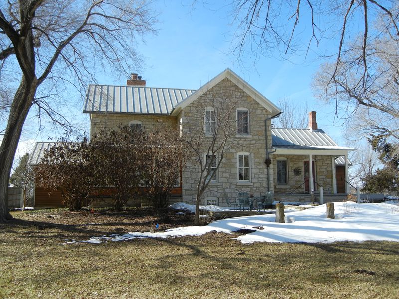
R. Gorrill House. View from east. Cynthia Haines, 01/2011.
|

R. Gorrill House. East wing, view from east. Cynthia Haines, 01/2011.
|

R. Gorrill House. View from southeast. Cynthia Haines, 01/2011.
|

R. Gorrill House. View from northeast. Cynthia Haines, 01/2011.
|

R. Gorrill House and addition. View from northeast. Cynthia Haines, 01/2011.
|

R. Gorrill House and addition. View from west northwest. Cynthia Haines, 01/2011.
|

R. Gorrill House. View from west southwest. Cynthia Haines, 01/2011.
|

R. Gorrill House and addition. View from south. Cynthia Haines, 01/2011.
|

R. Gorrill House. Patio, view from northwest. Cynthia Haines, 01/2011.
|

R. Gorrill Barn. View from southwest. Cynthia Haines, 01/2011.
|

R. Gorrill Granary. View from south. Cynthia Haines, 01/2011.
|

R. Gorrill farmstead well. View from southwest. Cynthia Haines, 01/2011.
|

Atlas of Douglas County, p. 7, R. C. [sic] Gorrill property in lower right hand corner.
|

KA-3634-01 10E, front of stone house, looking NW
|

KA-3634-01 10F, close up of front of stone house, looking NW
|

KA-3634-01 10G, close up of metal roof, looking NW
|

KA-3634-01 10H, brown room addition and stone house, looking NE
|

KA-3634-01 10I, close up of 2nd story of stone house, looking NE
|

KA-3634-01 10J, stone house, looking NE
|

KA-3634-01 10K, stone house, looking NE
|
 Gorrill Farmhouse. Site Plan. Accessed 02/25/2011. Douglas County Kansas GIS map.
|
 Gorrill Farmhouse. 984 N 1800 Rd. State Register nomination. 2011. Nimz, Dale.
|
